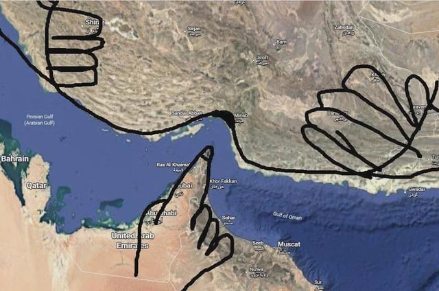
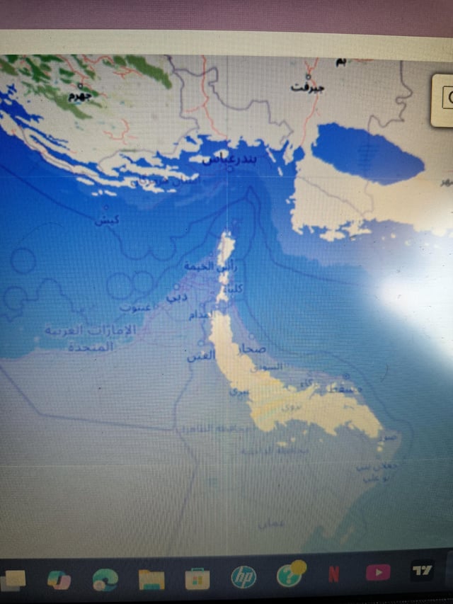
Just increase 450 meters of sea level and Hormuz is open

Text content
Arabic place labels for locations in the Persian Gulf and Arabian Peninsula, showing a 450-meter sea level rise simulation
Overview
This image is a photograph of a desktop computer screen showing an interactive map simulation of 450 meters of global sea level rise applied to the Persian Gulf and Arabian Peninsula region. Most of the low-lying coastal land around the Strait of Hormuz is submerged by water, which results in the strait becoming completely unobstructed by surrounding land. The meme jokes that this extreme, catastrophic sea level rise is an absurd 'solution' to geopolitical tensions and blockades of the Strait of Hormuz. All place labels on the map are written in Arabic.
Origin notes
This meme originates from Reddit, created as a darkly humorous absurdist take on the long-running geopolitical conflicts over access and control of the Strait of Hormuz, one of the world's most important strategic shipping lanes. The image is a user-created photograph of a sea level rise simulation map displayed on their personal computer desktop.
